Ecuador's Loja Province
by Lori
(Loja, Ecuador)
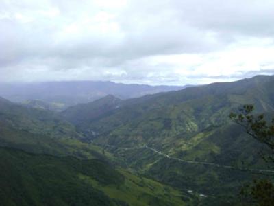
The Road from Loja to Vilcabamba
One of the things that I enjoy about living in Ecuador is the amazing diversity found in such a small country. Although the country is only about the size of the U.S. state of Colorado, within its borders are hot, tropical rainforests, cold, foggy mountains, and warm, sandy beaches - most within one (or two) day’s travel from each other.
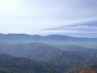
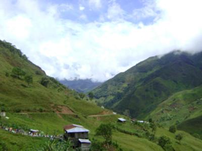
I live in the city of Loja, the capital of Loja Province, in southern Ecuador. Loja Province begins at the crest of the Andes Mountains (which more or less bisect the country down the middle) and extends west towards the coast and south to Peru. Its 4,166 m2 (10,790 km2) of mountainous terrain are dotted with hundreds of small valleys, each one located at a slightly different elevation. Elevation has a big impact on weather, and in this part of the world (close to the equator) there are very little seasonal differences. So traveling from one valley to another is a good way to enjoy warmer (or colder) temperatures.
For example, the city of Loja is located at 6,889 feet (2,100 meters) above sea level. The weather in Loja is mild and “spring-like” on most days. Daily highs are usually in the 70 to 80 degrees F (22 to 27 degrees C) range. When I’m in the mood for “summer-like” weather I drive south about an hour to visit Malacatos or Vilcabamba. These small towns are located in valleys about 2,000 feet (about 600 meters) lower than Loja. Temperatures are much warmer, and there are lots of banana and citrus trees and other plants that like hot weather. I can hang out comfortably in shorts, sandals and a tank top, and the weather is usually perfect for swimming. The town of Vilcabamba is a well-known tourist destination (for both national and international visitors) so there are many places to hike, go horseback riding, grab a bite to eat, or even get a massage.
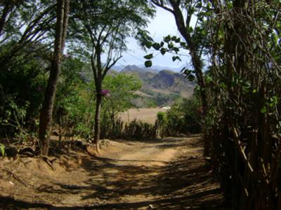
Farther out into Loja Province there are many more valleys, each with its own unique character. The valley of Catacocha, about an hour’s drive west from Loja is large, hot and dry; sugar cane is the dominant crop. Pindal, a small community farther to the east and south, is a bit cooler and is a productive corn-producing region. Near Pindal, the town of Celica is higher in the mountains, and it is famous for the fog which rolls in most afternoons or evenings and shrouds the town throughout the night. To the south, the border town of Macará is hot and humid and surrounded by rice fields. I always enjoy traveling out in the province and visiting these interesting communities.
I also like to travel east from Loja to visit Zamora province, which is located in the Oriente (Ecuador’s eastern zone). This is the beginning of the Amazon rainforest. The road from Loja to Zamora climbs quickly over the crest of the Andes Mountains and descends into the (seemingly) endless rainforest. It is amazing how quickly the scenery changes from windswept paramo (treeless mountaintop) to luxurious tropical forest. Near Zamora there is an entrance to Podocarpus National Park that is a great place to do a little hiking. It is hot and humid, and the forests are filled with butterflies and brightly-colored birds.
Traveling has around the province does have its difficulties. The roads are curvy and often full of potholes; the temperature outside (and inside if you don‘t have air conditioning) is constantly changing. Usually by the end of a trip I am tired, sweaty and nauseated from being jostled around for hours on end. But there is always something - a breathtaking view, the little town that looks like it hasn’t changed since the nineteenth century, the interesting characters walking along the road or hanging out at the corner store - that makes the journey worthwhile.
Comments for Ecuador's Loja Province
|
||
|
||
